About The GeoSpatial Hub
Turning spatial data into confident urban decision-making

Our StoryThe GeoSpatial Hub was created in response to a simple reality: urban teams are surrounded by spatial data, yet struggle to use it confidently in everyday decisions.
We support urban professionals and organisations working across planning, mobility, climate, research, and environmental strategy to move beyond fragmented GIS use and build shared spatial literacy.
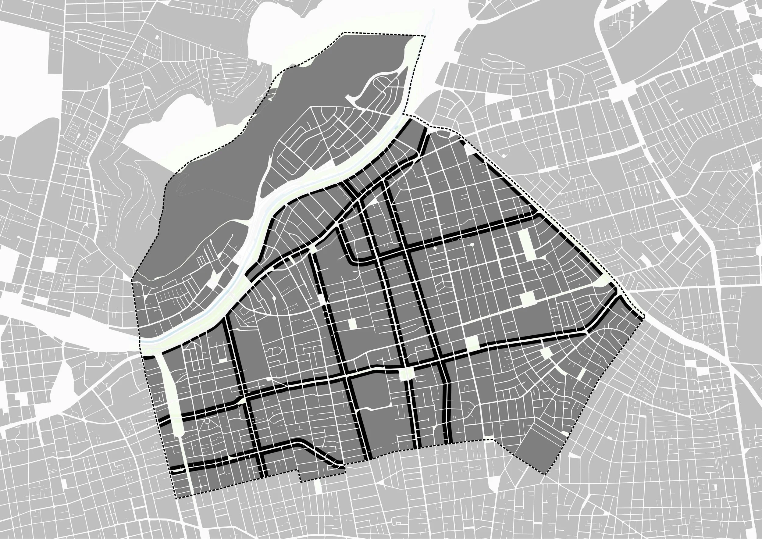
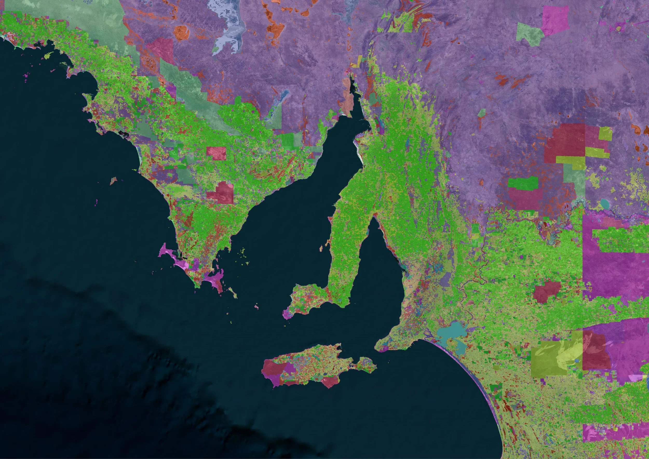
Our focus is practical spatial analysis that turns data into decision-ready insight, not technical abstraction.
What We Do
We support spatial capacity building through four connected pillars:
Tailored training and capacity building for organisations and institutions.
Applied education for professionals working in urban and environmental practice.
Spatial consulting embedded in real projects and workflows
A professional community for knowledge exchange and shared learning
All our work is grounded in real urban contexts and designed to translate directly into professional practice.
What started as an effort to make spatial tools more usable in everyday urban work has evolved into a broader mission. We’re shaped by the challenges we’ve seen across organisations, and motivated by what better spatial thinking can unlock.
What sets us apart is not just what we offer, but how we work. We take the time to understand context, data, and decision-making realities, building spatial capacity with intention, clarity, and purpose.
Who We Work With
We work with teams from:
city governments and public agencies
planning, design, and engineering consultancies
NGOs and foundations working on cities and mobility
universities and research centres
urban tech, mobility, and sustainability teams
We also support individual professionals who want to strengthen their spatial skills as part of their ongoing work or employer-supported development.
What defines our work is not a single tool or method, but an approach.
Urban-first: always grounded in real city challenges
Non-technical language: focused on clarity, not complexity
Applied workflows: based on real data and real decisions
Capacity over dependency: building confidence inside teams
Long-term value: not one-off outputs or isolated training
The GeoSpatial Hub is powered by All Things Urban, a global knowledge and career platform supporting over 100,000 urban professionals, teams, and institutions worldwide.
For almost a decade, All Things Urban has worked at the intersection of urban practice, education, and professional development, collaborating with cities, universities, consultancies, NGOs, and industry leaders worldwide.
Powered by All Things Urban
Let’s Work Together
Whether you’re exploring team training, custom capacity building, consulting, or professional development, we’re happy to start a conversation.